Sure, you watch the wind when you hunt, but do you know how to read it?
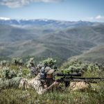
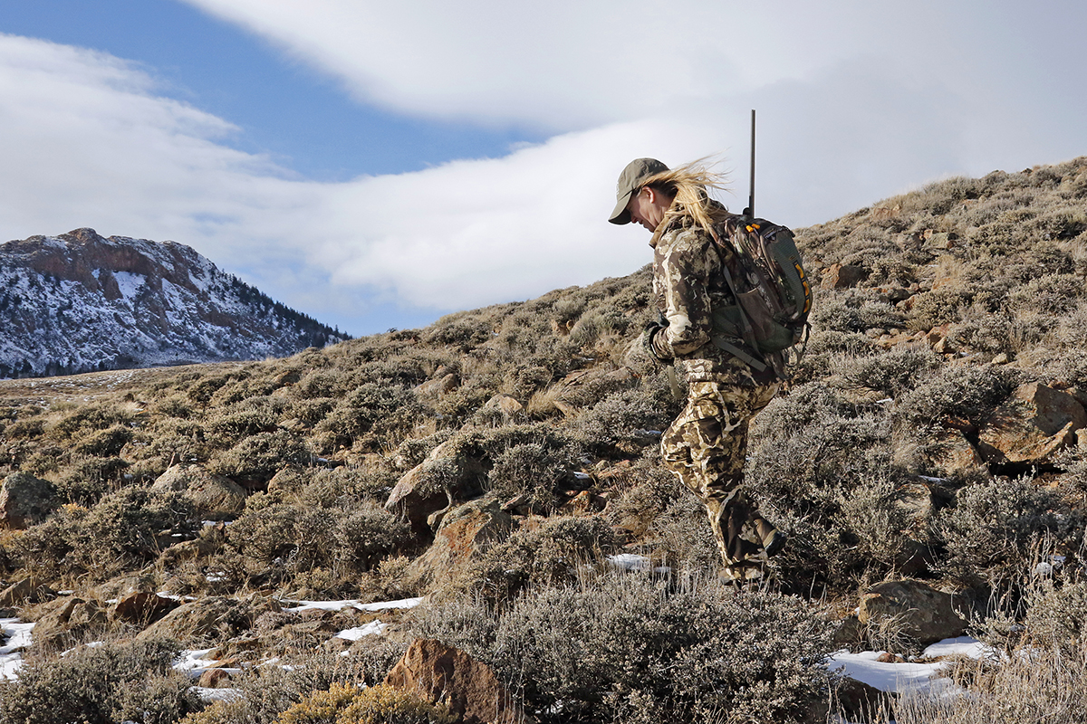
Photo above by VicSchendelPhotography.com
Hunters probably pay more attention to the wind than most people, but how many really understand the phenomenon itself, how it forms and moves, how it affects and helps predict incoming weather, and the many ways it can impact personal safety?
To the simple question of what causes wind, there is a simple-seeming answer: Wind is air moving from high pressure to low pressure, influenced by temperature differences, Earth’s rotation, and local geography.
Unpacking that definition is not so simple, however.
For starters, nearly all weather occurs in the troposphere, the lowest stratum of our atmosphere. This roughly 7- to 12-mile-high layer of air is mostly heated from the bottom up. Solar radiation warms the Earth’s surface, which then warms the air above it. Because the surface is so variegated, warming is uneven. Land heats up much more quickly than water, for instance. Warmer air is less dense (its molecules more separated) than cool air, so it rises, creating an area of lower atmospheric pressure. Air pressure is the weight or force of air being pulled down by gravity at a given point. The denser (heavier) the air, the higher the pressure. As warm air lifts, nearby cooler, high-pressure air moves in to fill or equalize the gap. High pressure air always flows toward lower pressure air. That flow or movement is wind.
A good local example of this dynamic is illustrated by land and sea breezes. When land is bordered by a substantial body of water, such as an ocean coastline or the shore of a large lake, daytime sun rays heat up the land much more quickly than the water. (Water disperses heat more widely and deeply than a comparatively thin layer of solid ground, which is a much more efficient conductor of heat.) The air over land warms and rises, creating an area of low pressure. The cooler (higher-pressure) air over the water rushes in. These “sea breezes” are a pleasant relief on hot summer days. At night, the dynamic reverses. Land cools off quickly, while the day’s heat retained in water releases slowly. Now the low pressure is in the warmer air above the water, and the land air is cooler. Low pressure air over the water lifts, and high pressure air from the land rushes in, reversing the day’s wind pattern with a “land breeze.”
Two more key concepts help explain how wind works. Warm air rises, but it cools as it lifts, since temperature decreases with altitude. Cool air eventually sinks, warming as it lowers. This rising and falling of air results in a roughly circular movement called convection. Locally, there are minor convection currents; when these grow large enough they become “convection cells” (as displayed, for example, in large cumulus clouds). The convective process has been called the engine of weather systems, since it transfers heat throughout the atmosphere, drives cloud formation, generates precipitation when the clouds are loaded with water vapor, and contributes to the creation of winds.
Wind patterns circulate because of a second important concept: the Coriolis effect, which is caused by the eastward rotation of the Earth. Because the planet spins faster at the equator than at the poles, objects at different latitudes travel on the Earth’s surface at differing speeds. This causes winds to bend to the right in the Northern Hemisphere and to the left in the Southern Hemisphere. Globally, the Coriolis effect helps shape large-scale wind patterns such as the polar easterlies, the trade winds, the jet stream, and the prevailing temperate-latitude westerlies (winds that blow approximately west to east, as, for instance, across most of the United States and Canada).
Local geography can also be an important influence on wind. A good example, very relevant for hunters, is how winds form and operate in mountainous terrain. On a daily basis, air flow in the mountains has a similar dynamic to land and sea breezes. In the morning and for much of the day, sun rays heat the mountain slopes. As air near the slopes, and possibly from an adjacent valley floor, warms, it rises, flowing uphill toward the ridge or peak. This anabatic or “valley” wind might be very light, hardly noticeable in some cases, but it can carry your scent to animals above you. (Note that sometimes the upslope air current is mitigated by more substantial “weather winds” blowing in from a frontal system or storm.) And just as with land/sea breezes, the mountain wind reverses as the sun goes down. The slopes cool, which also cools nearby air, making it heavier. Gravity drives the denser air downslope from the mountain top, creating a katabatic wind. These evening and night winds can be strong and cold–especially if funneled through a pass or canyon–so it’s wise to prepare for them in mountain country.
Another kind of downslope wind is a foehn (sometimes spelled fohn). Unlike a katabatic wind, which is a local temperature phenomenon, foehn winds result from large-area, regional differences in air pressure. They are formed when moist air systems approach the windward side of a mountain range that runs perpendicular to the prevailing wind. As the moist air lifts upward against the windward slopes, it quickly cools. Water vapor condenses and falls out, either as rain or snow. The air that makes it over the peak or ridge is now dry, and descends rapidly on the leeward side as an increasingly warm and sometimes strong wind. The famous chinook winds of the mid-to-northern Rockies are foehn winds. Although foehns occur in all seasons, they are most striking in winter, when surges of warm air rush down the Rockies and onto the frigid Great Plains, turning bitter cold into spring-like warmth, melting the snowpack as it goes. (One folk name for these winds is “snow-eaters.”) Temperatures can rise 45 degrees in 15 minutes. Montana towns east of the Rockies have gone from near zero to 68 degrees in a few hours. Snowmelt occurs so quickly that floods are a problem, and the inevitable quick refreeze creates icy roads and hazardous travel. In the mountains, the plunge of very warm, dry air can trigger flash floods, slushy trails, and avalanche danger on the leeward side–so relief from the severe cold can be a mixed blessing.
In meteorological terms, an air mass is a large parcel of atmosphere that is fairly uniform in temperature and moisture content. Within these masses are pressure systems–areas of either high or low air pressure–that can be large enough to cover a million square miles. High-pressure systems are associated with fair skies, mild winds, and stable weather. Airflow is anticyclonic–clockwise and moving outward from the center. Low- pressure areas flow cyclonically, which is counterclockwise and inward toward the center. (These airflow directions are reversed in the Southern Hemisphere.) Lows are associated with turbulence, precipitation, and wind. When high- and low-pressure systems meet, creating a front, wind forms. The intensity of the wind is determined, in large part, by the extent of the pressure difference, or gradient. A steep gradient–very high pressure meets very low pressure–produces the highest wind speeds. When a cooler air mass plows into a warmer mass, forming a cold front, the warmer air is driven higher into the sky, creating a zone of increased convection and turbulence. Ground temperatures lower, winds whip up and/or change direction, and rain or snowfall can be heavy. Cold fronts move fast and can appear suddenly, catching unobservant hunters by surprise.
An important fact to remember: when wind speed doubles, wind force quadruples. For example, a 20-mph wind pushes four times harder than a 10-mph wind. This is especially important when encountering gusting winds. Wind gusts may blow 50 percent faster (and 200 percent stronger) than the existing steady wind. These blasts can be a serious threat to anyone outdoors, and it’s smart to find shelter or at least a substantial wind break when high-wind gusts appear or are in the offing. Be sure to survey the area overhead so that you don’t seek shelter where a tree, large branch, or other heavy object might be blown on top of you, your tent, or your vehicle.
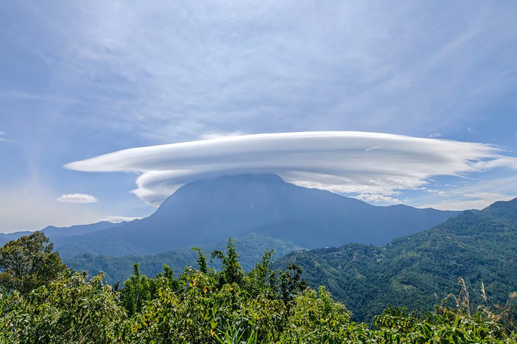
Reading clouds and cloud progressions is a large, separate subject, but a few cloud notes are worth mentioning in relation to wind forecasting. In mountain country, keep an eye out for lenticular clouds that form like a lens-shaped cap over or near peaks and high ridges. These are altocumulus clouds that have been smoothed by high winds aloft, and can make one think of flying saucers. Often, even in mostly fair-weather skies, they are a signal that winds will increase and wind gusts might soon appear at ground level. Lenticulars that grow and lower can be a sign of incoming, worsening weather.
Squall lines approaching from the distance as a wall of dark or dark-bottomed, low-hanging clouds (with or without visible lightning) indicate that both wind and precip are on the way. Tall, anvil-headed, dark-bottomed cumulus clouds are showing ramped-up convection, which means strong winds. Shelf clouds are cumulus with a wedge-shaped formation on the leading edge (sometimes looking like shelves of stacked, partial discs), caused by gusty outflow winds. Any darkened storm clouds showing hanging bottoms with visible roiling or rotation are a warning that high winds are on the way.
A horizontal tube-shape spinning at the base of a cloud or squall line is a “roll” or “roller” cloud that is generating a gust front of high-velocity, down-rushing winds that can extend for a dozen or more miles and be extremely dangerous, toppling trees, ripping up tents, and throwing shrapnel through the air. Seek shelter when possible. If shelter or a windbreak isn’t an option for whatever reason in high-wind situations, lie flat on the ground, covering your head with whatever protection is available–your folded arms if nothing else. Wind speed at ground level is significantly reduced even from that blowing at head-height.
A valuable habit to cultivate is tracking wind direction and especially changes in wind direction while in the field. In particular, note veering or backing wind shifts. A veering wind (in the Northern Hemisphere) is one that changes direction in a clockwise progression–say from southwest to west to northwest–indicating the presence or approach of a high-pressure (fair weather) system. If it’s raining or storming, a veering wind-change signals the weather is clearing and will soon improve. A backing wind, one that is shifting counterclockwise–from southeast to east to northeast, for example–promises the opposite, the presence or arrival of a low-pressure system, which usually means atmospheric turbulence and inclement weather (or even, in some Eastern seaboard locations, a dreaded nor’easter storm).
It’s wise to remember that winds don’t need to be fast and strong to be potentially dangerous. Even a mild cool breeze can increase the risk of both dehydration and sunburn, for instance. Moving air causes more evaporative fluid loss, and the cooling effect not only dulls the thirst urge, it can inhibit awareness that one’s skin is being slowly broiled by ultraviolet radiation. Conversely, a modest breeze combined with wet or damp clothing is a slow but steady path to potential hypothermia when air temperatures are 55 degrees F or colder. And in seriously cold air, it doesn’t take a lot of airspeed to increase wind chill and the risk of frostbite or other frigid-weather maladies. No matter the time of year or the particular blend of field conditions, it always pays to pay attention to the wind.